Are you an academic seeking cutting-edge drone tech? Explore our rundown on the 15 Best Drone Technology for Academic Field Research.
In academia, the landscape of field research often throws curveballs. Imagine tackling vast terrains, desiring detailed mappings, or facing the urgency of rapid data collection.
There’s an answer to these challenges: the modern-day marvel known as drone technology, designed to empower academic pursuits.
Table of Contents
Overview
From capturing pristine aerial shots to orchestrating efficient data gathering, unmanned aircraft systems have metamorphosed into indispensable research companions.
Tailored to suit academia, their versatility can revolutionize field studies. Now, let’s introduce some game-changers in the world of small unmanned aerial vehicles.
Best Drone Technology for Academic Field Research
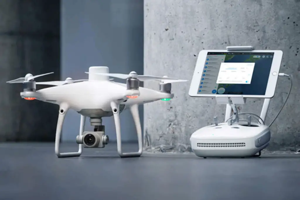
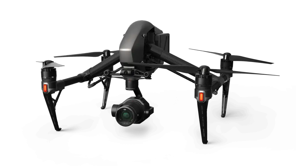
#1. DJI Phantom 4 RTK: Best for high-precision aerial mapping and surveying
Summary
- Precision mapping prowess
- Tailored for meticulous surveys
- Rugged and scientific research-ready
The DJI Phantom 4 RTK isn’t just another piece of flying tech; it’s like the sharpshooter of the drone world. Born from a passion to capture the minute details of the world below, this is the companion you want when venturing into the uncharted territories of research.
It’s not about flying; it’s about capturing every tiny detail with unparalleled accuracy.
Benefits
- Supercharged Efficiency: Think of it as giving wings to your mapping tasks. Everything gets done faster, smoother.
- Unwavering Data Consistency: Ensuring your research stands up to scrutiny with data you can bank on, every single time.
- Laser-Sharp Precision: Thanks to the RTK module, your surveys will feel like they’re done under a microscope.
In a world where ‘close enough’ just doesn’t cut it, the DJI Phantom 4 RTK is your answer. It’s not just a purchase; it’s a commitment to excellence. It’s the future of academic exploration.
How much does it cost?
- $8,419
Source: https://enterprise.dji.com
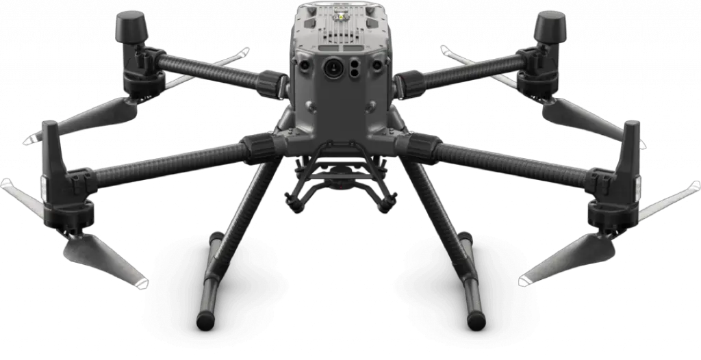
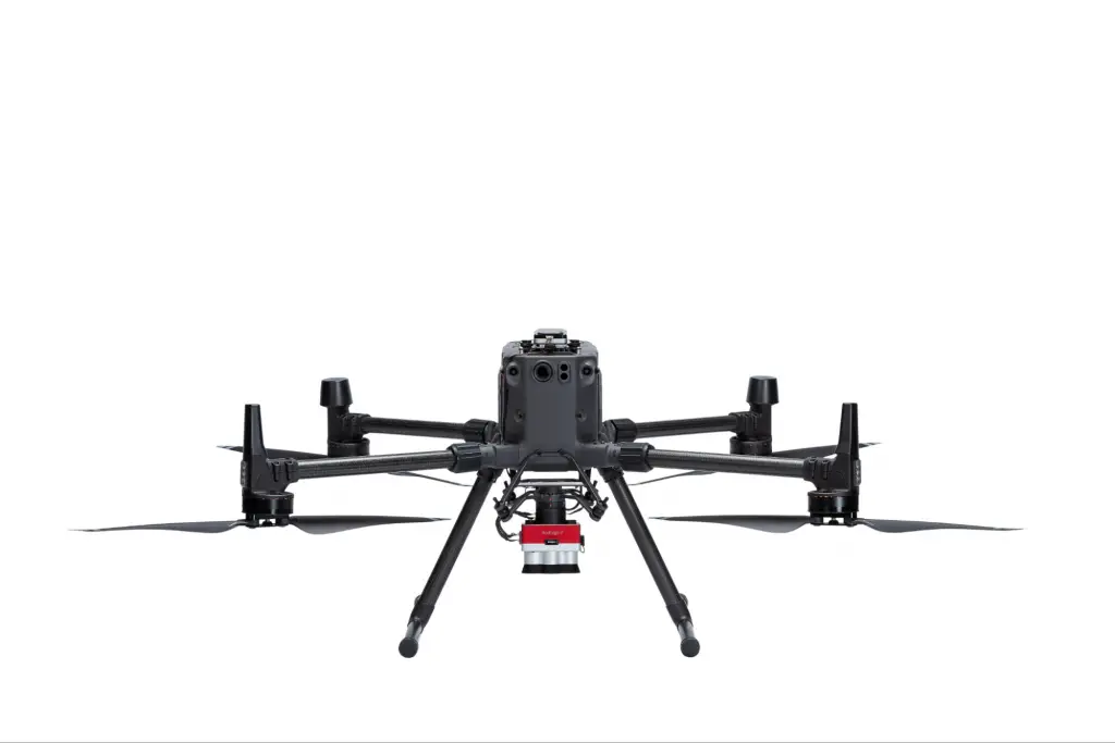
#2. DJI Matrice 300 RTK: Best for complex field research requiring long flight times and multiple payload capacities
Summary
- Flies longer, achieving more
- Handles varied payloads with ease
- Advanced tools for holistic data collection
The DJI Matrice 300 RTK isn’t just another flying gadget; it’s the Hercules of the drone sky, built for the explorers who dream deeper and aim higher.
Imagine having a loyal companion that tirelessly flits through the skies, weaving around obstacles, capturing every tiny detail below without a pause. This drone is for the curious minds that want more – more flight, more data, more adventure.
Benefits
- Marathon Explorer: Those short pit-stops to recharge? Say goodbye. Dive into extended research sessions, just the way you like it.
- Jack of All Trades: Why settle for one when you can have it all? Juggle multiple tasks effortlessly, serving every research whim and fancy.
- Tough Cookie: This beauty is built like a tank, ready to face the unpredictable and still fly back home.
In an age where time is of the essence, the DJI Matrice 300 RTK is your ultimate tool. It’s not just equipment; it’s your airborne companion.
For the researchers who won’t settle, who constantly push boundaries, this is your trusty steed. It’s the redefinition of thorough exploration.
How much does it cost?
- $13,700
Source: https://enterprise.dji.com
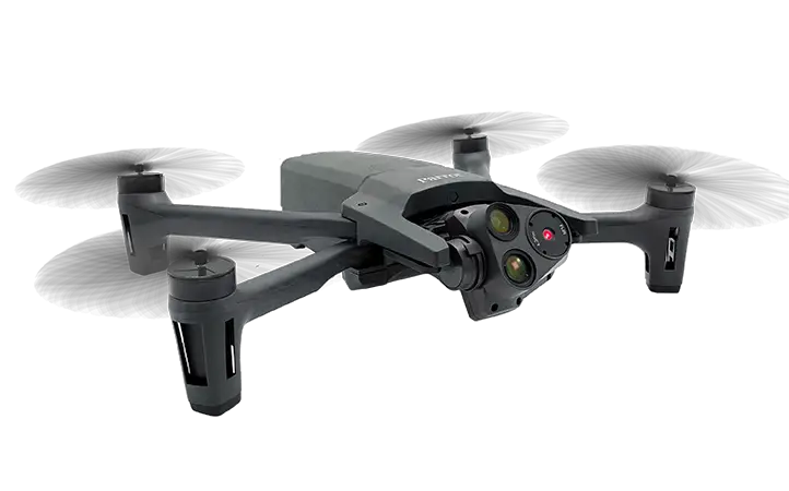
#3. Parrot Anafi USA: Best for high-resolution imaging with thermal capabilities
Summary
- Captures the unseen with clarity
- Thermal imaging for comprehensive insights
- Perfect for detailed visual explorations
The Parrot Anafi USA is like the Sherlock Holmes of the drone world, capturing the obvious and the elusive with equal brilliance. It’s not just for those who wish to record; it’s for those who want to discover.
As the sun bathes everything in its light, this drone dives deeper, catching even the subtle whispers of warmth with its thermal imaging.
Benefits
- Pristine Perspectives: Every snap, every recording is an artwork in clarity.
- Eyes of the Night: Unearth secrets hidden from the naked eye, exploring a thermal universe.
- Adaptable Ace: Whatever your research rhythm, this drone dances to it.
For the drone pilots who weave through the skies with finesse, the computer science wizards who decode the world in binary, the Parrot Anafi USA is more than a gadget.
It’s a bridge to unseen realms, a challenge to look beyond and think deeper. So, to all the academic adventurers out there, here’s a chance to revolutionize your visual quest. Dive in, and let’s reshape what’s possible together.
How much does it cost?
- $7,000
Source: https://www.parrot.com
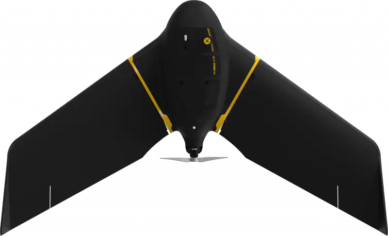
#4. senseFly eBee X: Best for large scale aerial mapping
Summary
- Expansive area coverage
- Intelligent flight planning
- Built for the big picture
The senseFly eBee X isn’t about capturing moments; it’s about encapsulating landscapes. Designed for those vast horizons and big research dreams, this flying vehicles sees the forest and the trees, making it ideal for those who believe in understanding the full scope of their study area.
Benefits
- Wide Canvas: Perfect for capturing large terrains without multiple flights.
- Smart Flights: Adaptive flight planning optimizes research time.
- Comprehensive Capture: Ensures no detail is too small or too vast.
With the senseFly eBee X in your arsenal, the world becomes a canvas waiting to be explored. It’s a boon for researchers who believe more ground covered means richer insights gained.
How much does it cost?
- $20,000
Source: https://ageagle.com
#5. DJI Mavic 2 Enterprise: Best for inspections with modular attachments
Summary
- Modular mastery for diverse inspections
- Compact yet powerful
- Adaptable to research needs
The DJI Mavic 2 Enterprise is like the multitool of the drone realm. Its modular attachments aren’t just add-ons; they’re gateways to varied research avenues. For those looking to inspect, explore, and understand, this drone offers a tailored approach every time.
Benefits
- Tailored Tools: Swap attachments to suit the research task at hand.
- Compact Power: Its size belies its capabilities, perfect for on-the-go researchers.
- Flexible Framework: Adapts to diverse research demands with ease.
The DJI Mavic 2 Enterprise is a testament to the fact that versatility can come in compact packages. It urges researchers to rethink what’s possible with a singular drone, opening up a world of potential explorations.
How much does it cost?
- $3,350
Source: https://www.dji.com
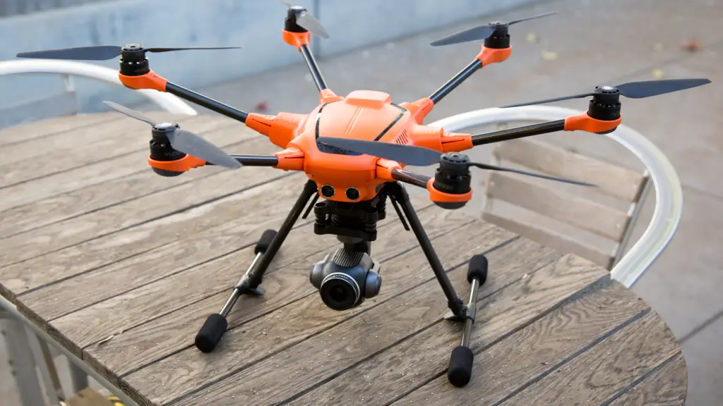
#6. Yuneec H520: Best for industrial inspections and public safety with its 360-degree gimbal
Summary
- Full-circle view with 360-degree gimbal
- Tailored for industrial insights
- Safety-centric design
In the intricate dance of industrial research and public safety, the Yuneec H520 emerges as the lead. Its 360-degree gimbal doesn’t just capture; it immerses, ensuring that every angle, every perspective is within reach for thorough inspections.
Benefits
- Panoramic Perspectives: Offers a holistic view, leaving no blind spots.
- Industrial Intuition: Designed with industrial research in mind.
- Safe & Sound: Puts safety at the forefront of every flight.
The Yuneec H520 is more than just a drone; it’s a researcher’s third eye. In a realm where every angle matters, this drone becomes an essential companion, ensuring nothing goes unnoticed.
How much does it cost?
- $4000
Source: https://yuneec.online
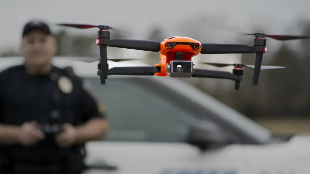
#7. Skydio 2: Best for autonomous flights in complex environments
Summary
- Mastery in autonomous navigation
- Specially designed for challenging terrains
- Reliable partner for intricate research zones
Skydio 2 doesn’t merely fly; it artfully dances through the most challenging terrains. For the curious mechanical and aerospace engineering who tread where few dare, this drone ensures they have a trusty sidekick, charting courses through the most tangled of environments.
Benefits
- Fearless Flight: Weaves through obstacles effortlessly.
- Terrain Champion: Thrives where others might stumble.
- Hands-free Handling: Researchers can focus on their work, leaving navigation to Skydio 2.
The Skydio 2 is an ode to autonomy and precision. It empowers researchers to dive deep into their studies, confident in the knowledge that they have a reliable navigator by their side.
How much does it cost?
- From $1,099
Source: https://www.skydio.com
#8. DJI Inspire 2: Best for cinematic quality aerial footage
Summary
- Delivers breathtaking cinematic shots
- Advanced camera capabilities
- Fuses art with academia
DJI Inspire 2 doesn’t just record; it crafts narratives. For scholars who believe that every research story deserves a cinematic touch, this drone transforms aerial captures into visual symphonies, ensuring every footage tells a tale.
Benefits
- Filmic Flair: Elevates research footage to art.
- Advanced Optics: Ensures every shot is gallery-worthy.
- Seamless Synergy: Perfectly marries tech with storytelling.
Choosing DJI Inspire 2 is like appointing a film director for your research. With every ascent, it promises a masterpiece, ensuring your academic pursuits are showcased in all their grandeur.
How much does it cost?
- $3,2999
Source: https://www.dji.com
#9. Autel Robotics EVO II Dual: Best for dual visual and thermal imaging
Summary
- Dual imaging for depth and detail
- Thermal prowess for hidden insights
- A game-changer for multi-faceted data collection
Autel Robotics EVO II Dual isn’t just about seeing; it’s about perceiving. By merging visual and thermal imaging, it peels back the layers of the environment, offering researchers a richer, more nuanced view of their field of study.
Benefits
- Dual Decipher: Visual and thermal captures enrich data insights.
- Thermal Intellect: Discovers the unseen and the overlooked.
- Research Richness: Adds depth and dimension to every study.
With Autel Robotics EVO II Dual, research isn’t just surface-deep. By unveiling the seen and the unseen, this drone beckons scholars to dive deeper, explore further, and understand better.
How much does it cost?
- $5,999
Source: https://www.autelrobotics.com
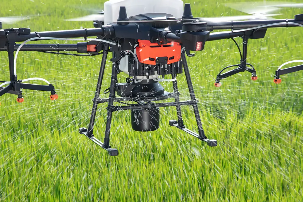
#10. DJI Agras T20: Best for agricultural research and crop spraying
Summary
- Precision in agricultural research
- Efficient and targeted crop spraying
- Designed for the green fields of study
The DJI Agras T20 is to agriculture what a seasoned farmer is to his land. With a deep-rooted understanding of crops and terrains, it takes agricultural research from the soil to the skies, offering a bird’s eye view of the land’s heartbeat.
Benefits
- Tailored Touch: Designed specifically for agriculture.
- Efficient Spraying: Ensures crops get the care they need.
- Data-Driven Decisions: Transforms aerial insights into actionable steps.
The DJI Agras T20 is the silent guardian of the fields. As researchers embrace its capabilities, they are not just adopting technology, but a deep understanding and care for the land and its produce.
How much does it cost?
- $14,999
Source: https://www.dji.com
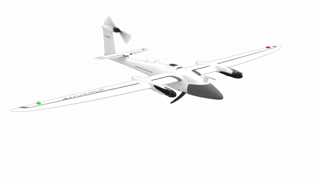
#11. Quantum Systems Trinity F90+: Best for long-range mapping
Summary
- Expansive range for vast terrains
- Intelligent autonomy over distances
- Precision meets endurance
Quantum Systems Trinity F90+ is the marathon runner of the drone world. Built for the long haul and vast expanses, it brings those distant horizons closer to researchers, ensuring every mile tells its unique tale.
Benefits
- Distance Dominance: Captures far-off terrains with ease.
- Prolonged Presence: Flies farther, ensuring comprehensive data capture.
- Precision Across Miles: Long-range doesn’t compromise on detail.
Choosing the Quantum Systems Trinity F90+ is like casting a wide net across the expansive sea of research terrains. It promises not just reach but richness in every captured frame.
How much does it cost?
- $18,300
Source: https://quantum-systems.com
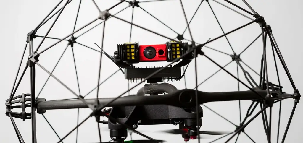
#12. Flyability Elios 2: Best for indoor and confined space inspections
Summary
- Navigates tight spaces with ease
- Designed for enclosed environments
- Safety and precision in compact form
The Flyability Elios 2 is the master of close quarters. It’s the whisper in the alley, the explorer of hidden nooks and crannies. For those intricate indoor studies where detail and safety are paramount, Elios 2 shines brightest.
Benefits
- Tight-Space Talent: Maneuvers effortlessly in confined spaces.
- Safety Shield: Built to prevent mishaps in close encounters.
- Intimate Insights: Captures the essence of enclosed environments.
With Flyability Elios 2, no space is too tight, no corner too concealed. It’s the answer to indoor mysteries, ensuring researchers miss not a whisper in their quest for knowledge.
How much does it cost?
- $35,000
Source: https://www.flyability.com
#13. Altavian Nova F7200: Best for data collection in varying weather conditions
Summary
- Braces diverse weather with grit
- Reliable across rain, shine, or gust
- Unwavering commitment to data
While most flying drones might shy away from Mother Nature’s moods, the Altavian Nova F7200 embraces them. It’s not just weather-resistant; it’s weather resilient. Researchers can confidently embark on their studies, knowing that come rain or shine, the Altavian stands steadfast.
Benefits
- Weather Warrior: Performs consistently, irrespective of nature’s whims.
- Steadfast Sensor: Ensures accurate data collection even when conditions are rough.
- Unyielding Uptime: Less downtime, more research time.
With Altavian Nova F7200, the elements are no longer barriers but intriguing backdrops. It assures researchers that every cloud or gust only adds depth to their data narrative.
How much does it cost?
- $15,000
Source: https://www.aeroexpo.online
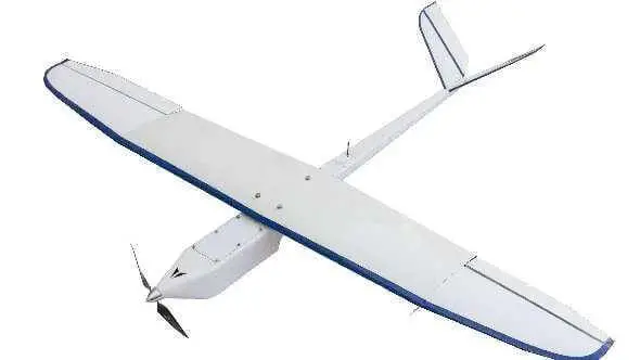
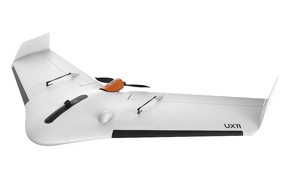
#14. Delair UX11: Best for topographic surveys
Summary
- Master of elevations and depths
- Pinpoint precision for topography
- Merges the highs and lows seamlessly
The Delair UX11 is a storyteller of terrains. It dances over hills, skims valleys, and captures the poetry of topography with precision. For those mapping the Earth’s beautiful contours, this unmanned aerial vehicle is the trusted cartographer’s tool.
Benefits
- Elevated Elegance: Maps terrains with grace and accuracy.
- Depth and Detail: Dives into the intricacies of every slope and dip.
- Continual Capture: Ensures seamless topographic tales from start to finish.
In the world of topography, where every rise and fall matters, the Delair UX11 rises to the occasion. It doesn’t just map the land; it understands and relays its stories.
How much does it cost?
- From $9,999.99
Source: https://delair.aero
#15. MicaSense RedEdge-P: Best for multispectral imaging for vegetation research
Summary
- Multispectral marvel for flora
- Sees beyond the spectrum of human eyes
- Delves deep into plant health and vigor
The MicaSense RedEdge-P is like the botanist’s sixth sense. Venturing beyond the visual spectrum, it captures the vibrant symphony of plant life in hues most eyes can’t perceive. For flora researchers, it brings the unseen stories of vegetation to the fore.
Benefits
- Spectral Sensitivity: Explores the colors beyond the visible.
- Plant Perspective: Understands vegetation at a molecular level.
- Health Herald: Indicates vigor, stress, and vitality in flora.
The MicaSense RedEdge-P doesn’t just see plants; it feels their essence. Through its lens, researchers can attune themselves to the silent, colorful sonatas of vegetation.
How much does it cost?
- $7,995
Source: https://wingtra.com
Conclusion
In this era of boundless discovery, unmanned aerial vehicles have revolutionized academic field research, offering unparalleled perspectives and insights. As we soar to new heights in academia, embracing these technological marvels will undoubtedly catalyze our journey. Dive deeper, fly higher, and let’s unlock the full potential of research together. Ready to elevate your studies? Choose your drone and take the leap into the future of research.